Langbiang hike in Da Lat: routes, access checks and when to postpone
Langbiang has a jeep-accessible viewpoint at Radar Hill and a forest hike to the 2,167 m Nui Ba summit. Before setting off for Nui Ba, confirm access with the park and arrange a guide who knows the route, then agree on a start time, a turnaround time and what to do if conditions deteriorate.
By Da Lat LoversPublished Updated How we review
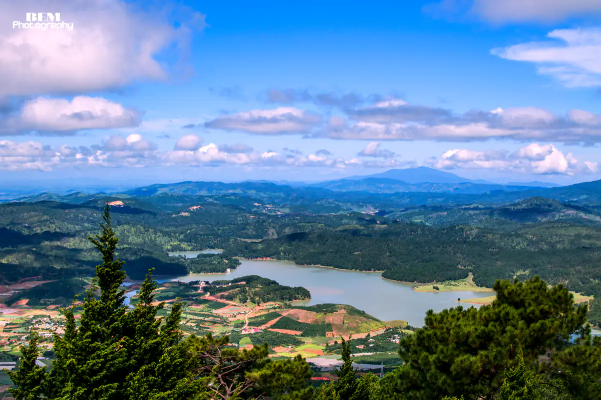
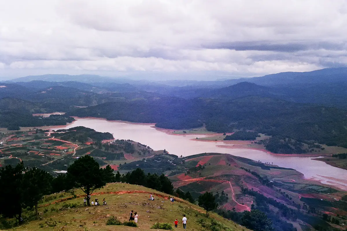
At the gate of the Langbiang tourist area you have one choice to make before you buy a ticket: ride or walk up to Radar Hill for the view over Dankia Lake, or spend most of the day on the forest trail to the summit of Nui Ba. The two routes are managed by different operators.
A note on names: Lang Biang is a range with three high points. Nui Ba (“Grandma Mountain”, 2,167 m) is the highest, Nui Ong (“Grandpa Mountain”, 2,124 m) is next, and Radar Hill is the lower viewpoint where the jeeps go. Radar Hill and Nui Ong sit inside the tourist area; Nui Ba belongs to Bidoup - Nui Ba National Park.
Langbiang hike: which way up, and how long does it take?
Planning Nui Ba? Check access first
The trail was suspended in October 2024. Before setting off, confirm with Bidoup - Nui Ba National Park or your tour organizer that the trail is open to hikers that day, and whether you need to register in advance.
Once it is confirmed, agree on a guide, a start time and a turnaround time based on your group’s fitness and that day’s forecast.
| Option | Where you end up | Distance and time | Guide |
|---|---|---|---|
| Tourist-area jeep | Radar Hill, about 1,930-1,950 m | 6 km of steep paved road with many bends | Not needed |
| Walk the paved road, then on to Nui Ong if you like | Radar Hill; Nui Ong at 2,124 m | 6 km to Radar Hill; the path to Nui Ong is signposted | Optional |
| Forest trail to Nui Ba (when access is confirmed) | Nui Ba summit, 2,167 m | About 3 hours up, per a 2024 route description. Confirm the round-trip distance and total time for your start point, way down and any vehicle use with your group. | Recommended, especially the first time |
Sources: Dalattourist’s Langbiang page (2025 update); Dalattourist’s 2024 route description.
The jeep suits anyone who mainly wants the view, and families with small children or older relatives. Walking the paved road suits people who want exercise but have not hiked in a forest before. If Nui Ba access is not confirmed, or you lack the fitness or a guide, Radar Hill still gives you Dankia Lake and the valley below.
Where do you start, and what do tickets cost?
Search “Langbiang Tourist Area” on Google Maps for directions. If you ride a motorbike, ask at the gate where to park; private vehicles may not drive up to Radar Hill without permission. Licence rules and common fines are in our guide to renting a motorbike in Da Lat.
Start from the tourist area, not from a shortcut path up from the vegetable farms at the foot of the mountain (see before you enter the forest). To fit Langbiang in with other sights, check the Langbiang entry in our list of places to visit in Da Lat.
What is the trail to Nui Ba like?
In a 2024 route description (VnExpress (in Vietnamese)), Dalattourist set out a trail that gets harder toward the end:
- About 3-4 km on the paved jeep road. Follow the road the jeeps use toward Radar Hill until a fork with a Bidoup - Nui Ba National Park checkpoint, then turn right onto the trail.
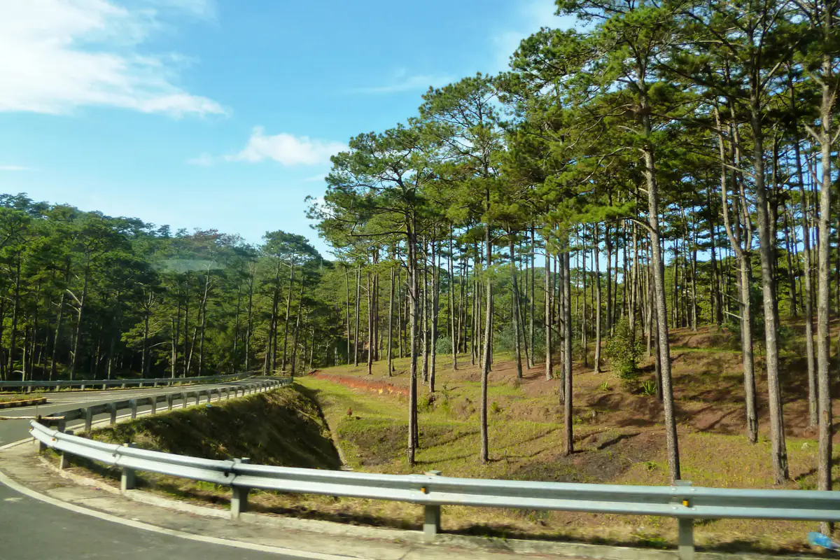
- A dirt trail through pine forest, then old-growth forest. It shows on Google Maps, but it is steep and fades out in places. Without someone who knows the way, this is where people go wrong.
- The last 960 m, from a “bird-watching point” marker. High, steep steps under thick, damp forest, very slippery.
The climb takes about 3 hours. Allow extra time for the descent, especially if the trail is wet or you are tired. Local guides suggest starting very early, resting at the top around noon and heading down in the early afternoon.
If you want to stay overnight, ask the park first whether camping is allowed, where, and which operator runs the trip. If all you want is a sea of clouds, our Da Lat cloud hunting guide has closer spots you can visit without camping overnight.
When should you go, and when should you postpone?
The dry season, November to April, is when both local guides and the tourist-area operator suggest going. The rainy season runs from April to October or into November depending on who you ask, so treat November as a changeover month and check the forecast before you commit.
In the rainy season the risky pattern is sunny mornings, rainy afternoons. Rain and fog can develop while you are still on the mountain, even after a clear morning. Agree on a turnaround time with your guide based on that day’s forecast. The rainy months also bring mosquitoes, leeches and wet, slippery ground.
Do not take sunshine in the city center as a reason to head up the mountain; check the forecast and the trail’s status that day. For the usual timing of rain through the day, see Da Lat weather in October.
Some hikers were reported on the route in September 2026, but that is not an access notice; check again before every trip.
Postpone the Nui Ba trail when
- Access for that day has not been confirmed, or there are barriers and no-entry signs on the path.
- It rained overnight or that morning: after rain, many sections turn muddy and slippery.
- You cannot start early, so you would still be high on the mountain when the afternoon rain usually arrives.
Consider the Radar Hill jeep only if the operator confirms it is running in suitable conditions; otherwise, change your plans.
Planning for next month? Da Lat weather in November has the rainfall figures for the changeover month.
Do you need a guide?
For Nui Ba on your first visit, yes. The trail fades in places, there are other paths around the mountain, and parts of the forest have no phone signal.
Ask whether the tourist area is currently arranging guided walks and what the trip includes. In 2024, day treks on Langbiang were reported at around VND900,000 per person; ask the organizer for the current price.
Whoever you go with, ask five things before you book:
- Whether the trail is open that day, which way up and down, and whether you pass the national park checkpoint.
- What time you start, and what time you turn back even if you have not reached the top.
- How many hikers one guide looks after.
- How the group regroups and stays in touch where there is no signal.
- Whether the price includes the gate ticket, water, food and transport.
Without a guide, stick to Radar Hill or Nui Ong inside the tourist area, but ask which paths are currently open and when you need to be back. Gate opening hours are not a recommended hiking window.
What should you bring?
Bring shoes with good grip, a waterproof jacket and a warm layer, water, a flashlight and a power bank.
- Shoes with good grip: hiking shoes or trainers with deep tread. No heels.
- A trekking pole for the steep, slippery steps near the top.
- A light rain jacket or waterproof shell, even if the morning is sunny.
- A warm layer and long trousers. In the rainy season the summit is windy and cold. Our what to wear in Da Lat guide has layering ideas by temperature.
- Leech socks in the rainy season.
- Water, snacks and a flashlight, in case you come down later than planned.
- A fully charged phone and a power bank, so you can share your location if needed.
- A bag for your rubbish, so everything you bring up comes back down.
Pack light: on a steep, damp, slippery trail, a small backpack keeps you steadier.
Before you enter the forest, and if you need rescue
Before you go into the forest, message someone staying behind with your route and the time you expect to be back. Agree a turnaround time with your guide and stick to it. If you get lost, call 114 while you still have signal and send your location to that person straight away, rather than waiting until the battery is almost gone.
One example from 2024: five students left Da Lat around noon, left their motorbikes by the road at the foot of the mountain, followed a path up on their own and were found only at 9pm. A late start, no guide and not starting from the tourist area are the three things to avoid.
Met the trail dog? Here is how to treat it
A few dogs belonging to families near the tourist area often walk with hikers on this route, the best known being a yellow dog called Vang. If you meet a dog walking with your group, do not leave the group to follow it, feed it whatever you have or coax it into a vehicle; let your guide handle it.
So which way should you go?
Choose the Nui Ba trail only after the park or your organizer confirms it is open that day; then look for a dry day, an early start and someone who knows the way. On a first visit, without a guide or after rain, consider Radar Hill if the operator confirms the jeeps are running in suitable conditions; otherwise, change your plans.
FAQ
How long is the Langbiang hike?
Per a 2024 route description, the way to the Nui Ba summit (2,167 m) runs about 3-4 km on the paved road to the national park checkpoint, then onto a forest trail. Confirm the round-trip distance for your start point, way down and any vehicle use with your group. If you only go to Radar Hill inside the tourist area, the paved road is 6 km.
How long does it take to reach the top of Langbiang?
About 3 hours up, per a 2024 route description. Confirm the total time for your start point, way down and any vehicle use with your group, and allow extra time for the descent, especially if the trail is wet or you are tired. Local guides suggest starting early, resting at the top around noon and heading down in the early afternoon.
Can I hike Langbiang without a guide?
For a self-guided walk to Radar Hill or Nui Ong, ask which paths are currently open and when you need to be back. Gate opening hours are not a recommended hiking window. For the Nui Ba trail, first confirm it is open that day, then go with someone who knows it on your first visit, as the path fades in places and some sections have no signal.
How much is the Langbiang entrance ticket?
According to Dalattourist’s page (early 2025 update): VND50,000 for adults and VND25,000 for children at the gate, plus VND120,000 per person for the jeep to Radar Hill when 6 people share it.
Is October a good month to hike Langbiang?
October is still the rainy season, usually with sunny mornings and rainy afternoons. Only consider the Nui Ba trail once the park confirms it is open that day, the trail and weather are suitable, and you can start early with a guide who knows the route.
What is the difference between Radar Hill and Nui Ba?
Radar Hill (about 1,930-1,950 m) is inside the tourist area and jeeps drive to the top. Nui Ba (2,167 m) is the highest peak of the Lang Biang range, managed by Bidoup - Nui Ba National Park, and can only be reached on foot.
Sources
These are the sources used for this article. It was last updated on Oct 06, 2026; prices and opening hours may have changed since, so please double-check before you go.
- Dalattourist: Langbiang tourist area, tickets, hours and the Radar Hill jeep (records updated January-February 2025, checked October 6, 2026)
- VnExpress: Safety notes for climbing Lang Biang (July 26, 2024) (in Vietnamese)
- VnExpress International: Lang Biang, a one-day trekking adventure in Da Lat (August 17, 2024)
- Tuoi Tre News: Lang Biang trekking trail in Vietnam’s Central Highlands closed due to safety risks (November 1, 2024)
- VietNamNet: A visit to Langbiang Mountain (January 5, 2018)
- Saigoneer: Hẻm Gems, one family’s unexpected outpost at the foot of Langbiang (March 8, 2019)
- VnExpress: Dog leads hikers up a mountain in Da Lat (October 2, 2026) (in Vietnamese)
- VnExpress: Walking route to the Langbiang summit closed for safety (October 31, 2024) (in Vietnamese)
- Dan Tri: Visitors keep getting lost in fog and darkness on Langbiang (October 15, 2024) (in Vietnamese)
- Thanh Nien: Five students from Ho Chi Minh City found after getting lost on Lang Biang (August 31, 2024) (in Vietnamese)
- VietnamPlus: Lang Biang walking route suspended for safety (October 31, 2024) (in Vietnamese)
- Kenh14: Da Lat’s unpaid “tour guide” gets its own Google Maps pin (October 5, 2026) (in Vietnamese)