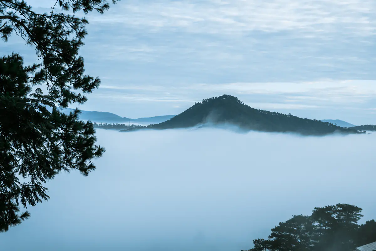
Da Lat cloud hunting: why the valleys fill with clouds, when to go, what to avoid
Da Lat cloud hunting is more than luck and an early alarm. We combined basic meteorology, climate data and Vietnamese press reports (checked September 28, 2026) to help you pick the right night, leave at the right time and skip the gate-fee hassles.
By Da Lat LoversPublished Updated How we reviewĐọc bản tiếng Việt
How we put this guide together
Vietnamese travelers call it săn mây, literally “hunting clouds”: getting up at 3:30am, riding into the dark and standing on a hilltop as a white sea of cloud fills the valleys below. Da Lat cloud hunting has become so popular that, as Saigoneer put it, locals joke that seeing the clouds depends on your nhân phẩm, your moral character.
The real deciding factors are humidity, wind and how cold the night was. This guide skips the full list of hills, which lives in cluster E of our 30 places to visit in Da Lat. Instead it covers the harder questions: why the clouds form, which months work, how to read the forecast the night before, when to leave, whether to book a tour, and what the Vietnamese press has reported about fees at the busiest spot.
Why Da Lat cloud hunting works: night cooling, inversions and valley fog
Most of what you see on a Da Lat cloud hunting morning is not high cloud at all. It is fog that forms at ground level, pools in the valleys and is viewed from a hill above it. According to the Wikipedia article on fog, radiation fog forms when the ground loses heat after sunset under clear, calm skies, and that cooling ground chills the air right above it.
When the air near the ground ends up colder than the air above it, meteorologists call it a temperature inversion, the reverse of the usual pattern where air gets colder with height. If that bottom layer is humid enough to cool to its dew point, water vapor condenses into fog. The warm layer on top acts like a lid and keeps the fog trapped below.
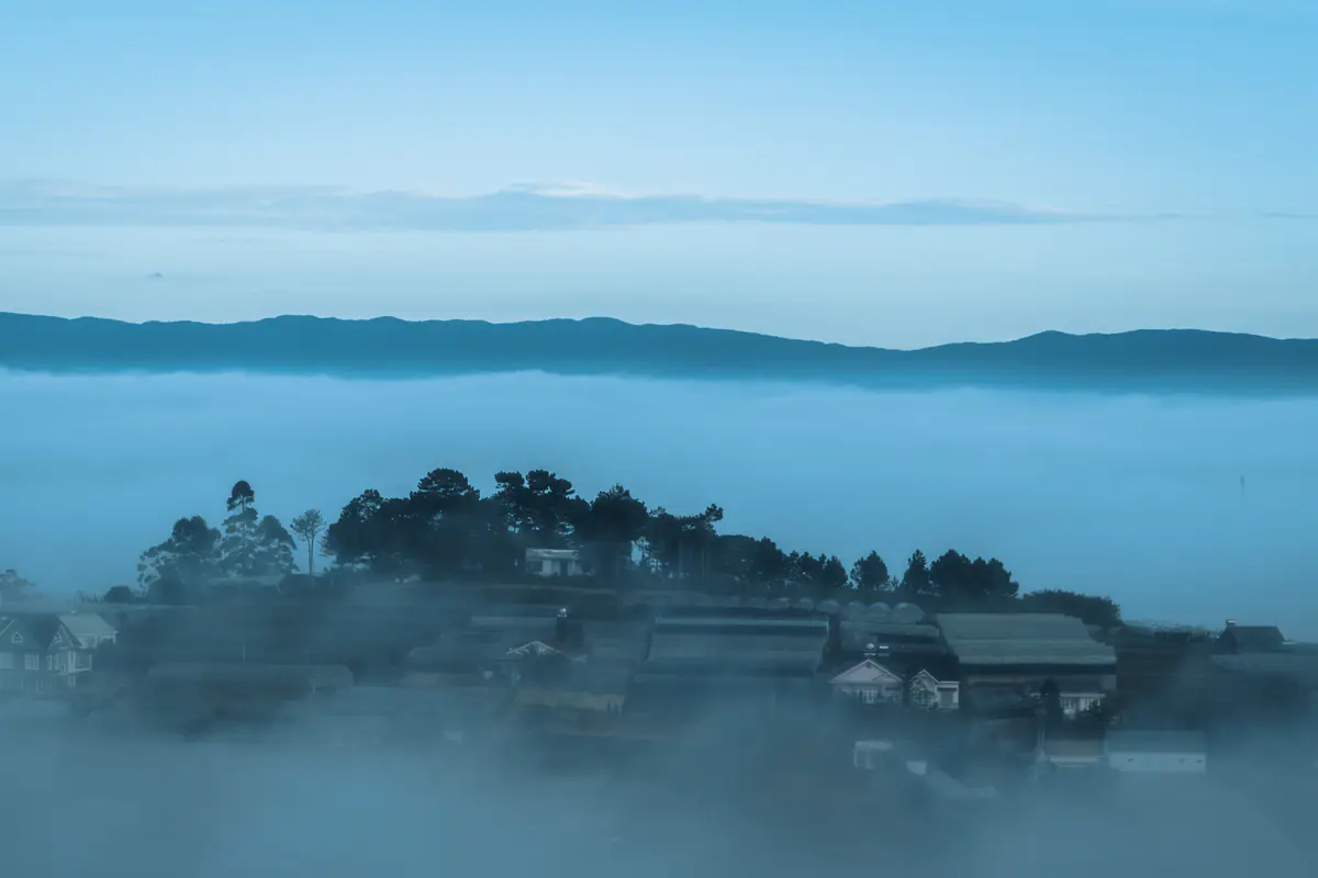
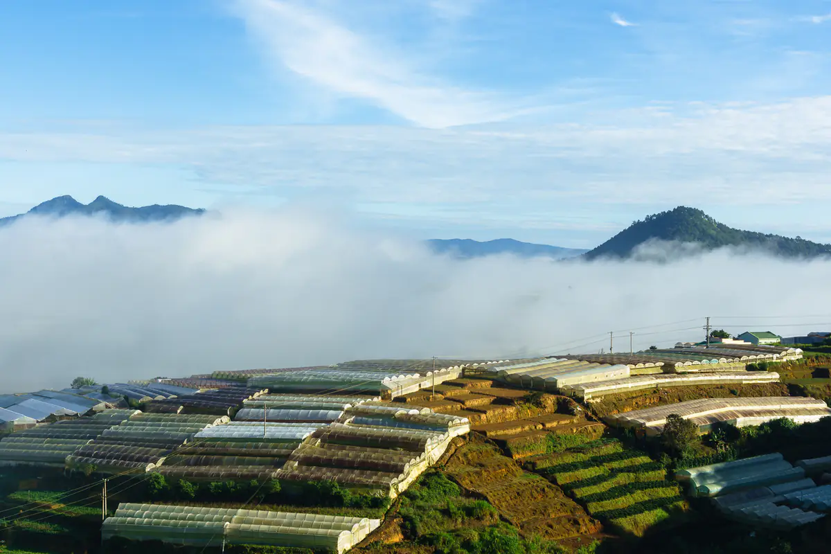
Valleys make this stronger. Cold air is denser, so at night it drains downhill and collects in low ground; Wikipedia describes valley fog as a special case of radiation fog that forms faster and lasts longer than over flat land. Da Lat sits on a plateau at about 1,500 m, full of hills and greenhouse-filled valleys, so it has plenty of natural bowls to hold the clouds.
The dew point is the key idea. When a forecaster from the Southern Center for Hydro-meteorological Forecasting explained an unusual cloud over Tay Ninh’s Ba Den Mountain to Tuoi Tre News (November 25, 2022), the recipe was the same: moist, stable air cooling below its dew point.
Why wind ruins the show
The same reference notes that moderate to strong wind stirs the air and stops the surface layer from cooling, so fog struggles to form. A very slight breeze, on the other hand, can spread the cold air and thicken the layer. That is why a calm night matters as much as humidity for Da Lat cloud hunting.
Why the clouds vanish so fast
Once the sun is up, the ground warms, the inversion breaks and the fog evaporates. Thanh Nien (in Vietnamese) reported on November 15, 2025 that National Geographic ranked Da Lat cloud hunting first among seven sunrise experiences worldwide, describing a scene formed when cool night air traps mist in the valleys before the mid-morning sun burns it off, all within about an hour (Thanh Nien (in Vietnamese)).
In short, you need four things: moist air, a clear night so the ground can lose heat, little wind, and low ground to hold the cold air. Remove one and your odds drop sharply.
The best months for Da Lat cloud hunting: sources disagree, the data explains why
If one Da Lat cloud hunting article told you the rainy season and another said the dry season, you did not misread. Vietnamese outlets give different answers, mostly based on the writer’s own experience:
- CafeF (in Vietnamese), July 20, 2023: the rainy season (roughly May–October) gives the best odds, ideally June to mid-August.
- VnExpress (in Vietnamese), September 11, 2022: the prettiest clouds run from about June to the end of August.
- VnExpress (in Vietnamese), September 3, 2022, quoting a Da Lat resident: spring and summer are easiest; autumn is rainy and winter winds blow the clouds away.
- Tuoi Tre (in Vietnamese), April 6, 2026: early April marked the start of the “cloud season,” with crowds heading to Da Sar, Xuan Tho and Cau Dat from 4:30am.
- Viet Nam News (May 2026) suggests November to March for sunrise watching in the Central Highlands.
To see whether these really contradict each other, we lined them up against Da Lat’s climate table on Wikipedia (sourced from the Da Lat Gazetteer and the Vietnam Institute for Building Science and Technology). The last column is our opinion, not a measurement.
| Month | Humidity | Rainy days | High / low | Our cloud-hunting call |
|---|---|---|---|---|
| Jan–Mar | 77.7–81.2% | 2–6 | 22.3–25.1 / 11.7–13.0°C | Clear and cold but drier; thin clouds, hit or miss |
| Apr | 83.3% | 12.8 | 25.3 / 14.7°C | Humidity rising, afternoon showers: fair |
| May–Sep | 87.2–90.4% | 20–24 | 22.7–24.7 / 16.0–16.4°C | Very humid and foggy, but often overcast and muddy |
| Oct | 88.6% | 20.0 | 22.8 / 15.3°C | End of the rains, colder nights: good |
| Nov | 85.4% | 11.5 | 21.7 / 14.6°C | Still humid, more clear nights, drier tracks: good |
| Dec | 84.2% | 5.9 | 21.4 / 13.2°C | Cold and clear, windier: fair |
Both camps have a point. The rainy season has the most moisture, so thick morning fog is common, just as CafeF and VnExpress say. But it also brings many overcast nights when the ground cannot cool much, and the dirt tracks get slippery. The tail of the rainy season into the early dry season (late October to November), plus the April–May changeover, combine high humidity with more clear nights.
Our take: Da Lat cloud hunting works year-round, but the transition months usually give the best ratio of good mornings to wasted alarms. Month-by-month detail is in our guides to Da Lat weather in October and Da Lat weather in November.
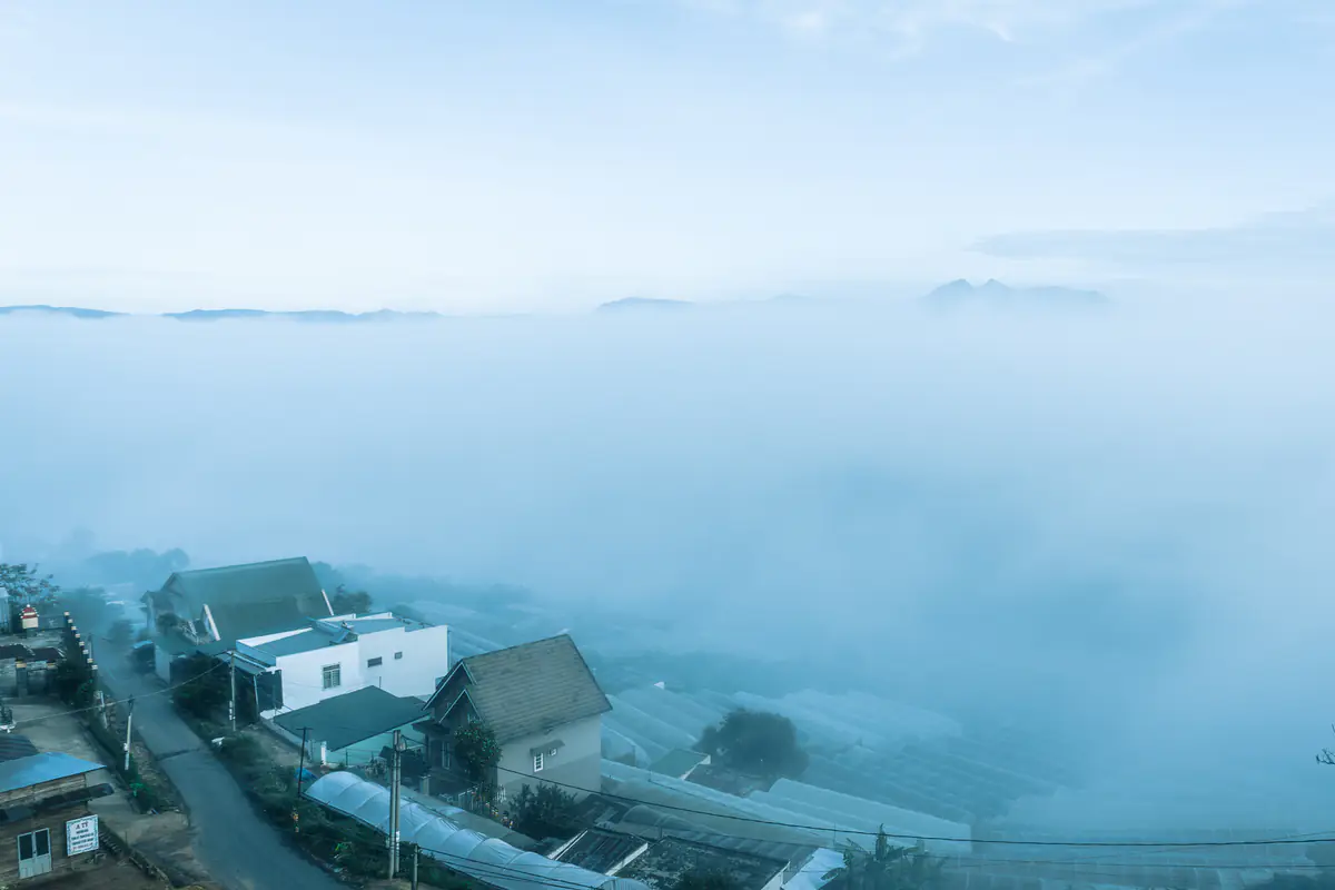
Six signs the night before that your Da Lat cloud hunting trip will pay off
Nobody can promise clouds for tomorrow’s Da Lat cloud hunting run; a cloud-hunting guide interviewed by VnExpress (in Vietnamese) on September 5, 2026 said exactly that. Still, some signs raise the odds, and they match the physics above:
- A light afternoon shower that clears by evening. VnExpress (September 3, 2022) (in Vietnamese) cites a local rule: a hot morning and rainy afternoon, or a dewy evening with wet grass, usually means thick clouds the next morning.
- Not after a long, heavy downpour. According to VnExpress (in Vietnamese) (September 5, 2026), heavy rain is often followed by strong wind and gray skies, which spoil the sea of clouds.
- A clear sky with stars. Clear nights let the ground lose heat, the core of radiation fog.
- Light wind. Wind mixes the air. VietNamNet (in Vietnamese) (June 9, 2022) also notes that clouds tend to appear after rainy days with little wind.
- A big day-night temperature gap. The same VnExpress piece lists this among the factors that favor low cloud.
- High humidity at night. Dew on your motorbike seat or car windshield is the easiest tell.
What we do: around 8–9pm, open the live Da Lat weather widget on our homepage. It pulls data from Open-Meteo and shows humidity, wind speed, the day’s high and low and the chance of rain. High humidity, light wind, a low chance of rain at dawn and a clearly colder overnight low all point to a morning worth the alarm.
Check the region, not just one hill
What time to leave: sunrise and first light by month
For Da Lat cloud hunting, the clouds look best just before and around sunrise. VnExpress (September 5, 2026) gives an ideal window of 5:30–7:30am, CafeF says 5:30–6:30am, and VietNamNet (October 22, 2022) reported the clouds at Cau Dat “disappearing” around 7:30am. Sunrise in Da Lat shifts by almost 50 minutes between June and January.
| Month | First light | Sunrise | Leave for Cau Dat |
|---|---|---|---|
| January | 5:48am | 6:09am | 4:45am |
| February | 5:46am | 6:07am | 4:45am |
| March | 5:32am | 5:52am | 4:30am |
| April | 5:13am | 5:33am | 4:10am |
| May | 5:00am | 5:21am | 4:00am |
| June | 4:59am | 5:21am | 4:00am |
| July | 5:06am | 5:28am | 4:05am |
| August | 5:13am | 5:34am | 4:10am |
| September | 5:14am | 5:34am | 4:10am |
| October | 5:14am | 5:35am | 4:10am |
| November | 5:21am | 5:42am | 4:20am |
| December | 5:35am | 5:57am | 4:30am |
How we got the last column: take first light, subtract 45–50 minutes of slow night riding, then another 15 minutes to park and walk. It lines up with the 4:00–4:15am departure a photographer recommended to VnExpress (in Vietnamese) (September 11, 2022) and the 4:00–4:30am window in a VietNamNet (in Vietnamese) report (October 22, 2022). For closer hills such as Da Phu or Du Sinh, you can leave 20–30 minutes later.
If you plan to watch from a valley-view cafe near town, the sunrise table for that exact spot is in our Binh Minh Oi Da Lat review. The difference across the Da Lat area is about a minute, so the table above works for any Da Lat cloud hunting spot.
Da Lat cloud hunting spots and routes: the logistics only
Descriptions and history of each hill are in cluster E of our places guide. The table below only collects what you need to plan the ride: distance, road type and any fee a newspaper has reported. Many of the directions come from VnExpress International’s guide to five popular cloud-hunting spots (October 29, 2020), cross-checked with later Vietnamese reports.
| Spot | Distance and route | Difficulty | Fee reported |
|---|---|---|---|
| Cau Dat tea hills (Đồi chè Cầu Đất) | 23–30 km southeast on Highway 20; an easy road you can ride all the way (VnExpress 2022, Saigoneer 2023, VietNamNet 2022) | Easy but far, and crowded on weekends | VND120,000 per person with a drink at the wooden-deck spots (VietNamNet 2022, Kenh14 2024) |
| Da Phu Hill (Đồi Đa Phú) | About 10 km; head toward Ankroet Lake, turn onto Da Phu Road, take the first alley, then walk up a steep path (VnExpress International 2020) | Moderate, steep dirt | Free (VnExpress International 2020) |
| Du Sinh Hill (Đồi Du Sinh) | About 5 km via Huyen Tran Cong Chua Street, past Du Sinh cemetery and up a steep slope (VnExpress 2022) | Moderate | No source |
| Thien Phuc Duc Hill | Closest to town; park at the bottom and walk up (VnExpress International 2020) | Easiest, but fewer clouds | No source |
| Hon Bo Peak | Past Da Lat Station to Huynh Tan Phat Street and the campsite, then a trail to the top (VnExpress International 2020) | The trail is for skilled riders only; park and walk if unsure | No source |
| Langbiang Mountain | Jeep to Radar peak or hike; the climb to the highest peak takes 3–4 hours (VnExpress 2022) | Hard on foot, slippery in the rainy season | Per the site’s posted price list |
| Pinhatt Peak | About a 3-hour hike from Da Tien tourist area near Tuyen Lam Lake (VnExpress 2022) | Hard; go with a local or a guide | No source |
Three ways to plan the morning
Only one morning and a promising forecast? Go to Cau Dat. Newspapers describe it as the most visited spot, and the road is the easiest. After the clouds lift, VietNamNet (October 22, 2022) suggests the tea hills, the wind-turbine field and nearby cafes, so the trip is not wasted if the clouds are thin.
Not keen on a long ride in the dark? Pick Da Phu, Du Sinh or Thien Phuc Duc. The clouds are usually thinner, but you only ride 10–20 minutes before dawn. This is the sensible choice if you have never ridden mountain roads.
Into hiking? Langbiang or Pinhatt feel wilder but need a much earlier start, a group and a dry day. According to Thanh Nien (in Vietnamese) (April 6, 2026), Dalattourist, which runs the Langbiang site, also plans a cloud-hunting camping service; ask the operator directly before you go (Thanh Nien (in Vietnamese)).
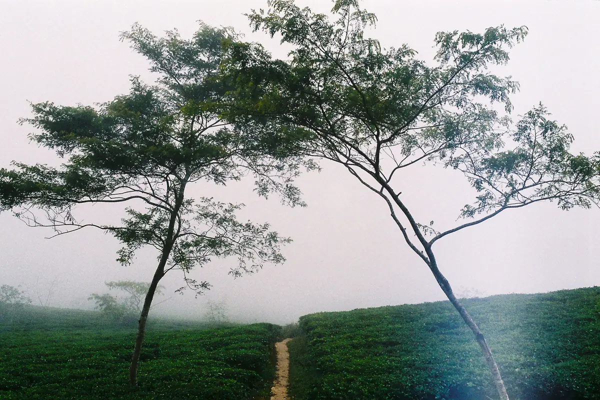
Da Lat cloud hunting tours: types, reported prices and what to check
Searches for Da Lat cloud hunting tours spiked on Google Trends this week, so tours get their own section. One rule first: we only quote prices that a major newspaper has reported, with the year. Prices on tour-selling websites change constantly and are not independently checked, so we leave them out.
Common formats
- Shared sunrise tours: hotel pickup in the dark, a cloud-hunting spot, then tea hills and a cafe. In 2020, VnExpress (in Vietnamese) reported companies advertising such tours for VND200,000 per person. Treat that as an old reference.
- Guide-plus-photographer packages sold on social media: Dan Tri (in Vietnamese) (April 25, 2023) described a package that included entry to a closed wooden bridge plus an edited photo set for VND2.5 million. The traveler lost her VND1.5 million deposit when the seller disappeared (Dan Tri (in Vietnamese)).
- Local jeeps and shuttles: at some spots, locals ferry visitors in from the main road. VnExpress (2020) reported VND70,000 per person for about 1.5 km in old vehicles, most without license plates.
- Official site services: such as the jeep up Langbiang to Radar peak, priced on the operator’s board; see the Langbiang entry.
Checklist before you pay
- Does the operator have a company name, address and travel license, or is it an official tourist site?
- What exactly is included: entry, drinks, rain ponchos, insurance? Is there a refund or a new date if there are no clouds?
- Is the promised spot actually open? The deposit scam reported by Dan Tri involved a wooden bridge that had stopped taking visitors.
- Avoid large deposits to personal bank accounts, and call to confirm the day before.
Our view: if you are a confident rider with the right license and you are heading to Cau Dat or Da Phu, going on your own is usually enough. A tour makes sense if you do not want to ride unlit roads, travel as a big group or need a driver. Either way, weather decides your Da Lat cloud hunting morning. No tour can guarantee clouds.
Touts and gate fees on Da Lat cloud hunting mornings: what the press reported
Of all the Da Lat cloud hunting spots, Cau Dat is where Vietnamese media have repeatedly reported touts competing for visitors. Here is the timeline, so you know what is allowed and what is not.
- 2020: VnExpress (in Vietnamese) (July 28, 2020) described an informal spot in Tram Hanh charging a VND60,000 gate fee, with home-made fences and metal platforms for photos; city leaders said sites that failed safety standards would be closed.
- July 2023: Thanh Nien (in Vietnamese) reported that on July 15, 2023 the owner of one cloud-hunting spot demanded VND120,000 per person from a group who were only drinking coffee at a different cafe, raised her voice and called in a man to pressure them; the group had to call the police. The commune fined two other businesses VND2 million each for touting (Thanh Nien (in Vietnamese)).
- March 2024: Kenh14 (in Vietnamese) described a “maze” of competing signs at the tea-hill gate, owners calling out to passing visitors and badmouthing rivals. Although the entrances differ, the spots overlook the same valley, and tickets were usually VND120,000 per person including food and a drink.
The key detail from Thanh Nien: according to Da Lat’s culture and information office at the time, three households in the Cau Dat cloud-hunting area held licenses to run cafes but were not allowed to charge gate fees. Officials also ordered illegal signs removed, a single shared direction board and safety warning signs.
If someone demands money
Da Lat cloud hunting safety: dark roads, cold and motorbikes
The riskiest part of Da Lat cloud hunting is not the hilltop but the ride there. In VietNamNet’s October 22, 2022 report (in Vietnamese), one visitor described the road to Cau Dat as long, with many dark stretches and no streetlights, and said the early-morning cold, just over 10°C, left his hands numb. That same morning, hundreds of vehicles queued into the parking area from 5am.
- Motorbikes: ride only if you hold a valid license for the bike and are used to steep roads. License rules for foreigners and fines are in our Da Lat travel tips. Test the headlight and both brakes the evening before.
- Wet roads: on September 25, 2026, an Indian tourist died after the motorbike he and a companion were riding skidded on a rain-soaked bend of Prenn Pass and hit an oncoming car (Tuoi Tre News). The road to Cau Dat does not use Prenn, but it is still a hilly road: after a wet night, slow down and leave space.
- Informal shuttles: VnExpress (2020) described old trucks and jeeps without plates carrying visitors up dirt tracks. If a vehicle looks unsafe, walk or choose another spot.
- Dirt hills and edges: stay on the path, do not climb fences and do not stand on the edge for a photo. Bring a flashlight or headlamp for the walk.
- Storm season: watch landslide warnings and never camp near streams. Emergency numbers and rainy-season advice are in the safety section of our travel tips.
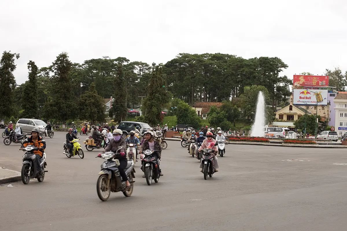
Da Lat cloud hunting photo tips for cameras and phones
These Da Lat cloud hunting photo tips are general landscape-photography advice, not sourced data. A sea of clouds is hard to shoot because the dynamic range is huge: the eastern sky is bright, the valley below is still dark, and white clouds blow out easily.
With a camera
- Meter for the bright sky or dial in -0.7 to -1 EV to keep detail in the clouds, then lift the shadows in editing.
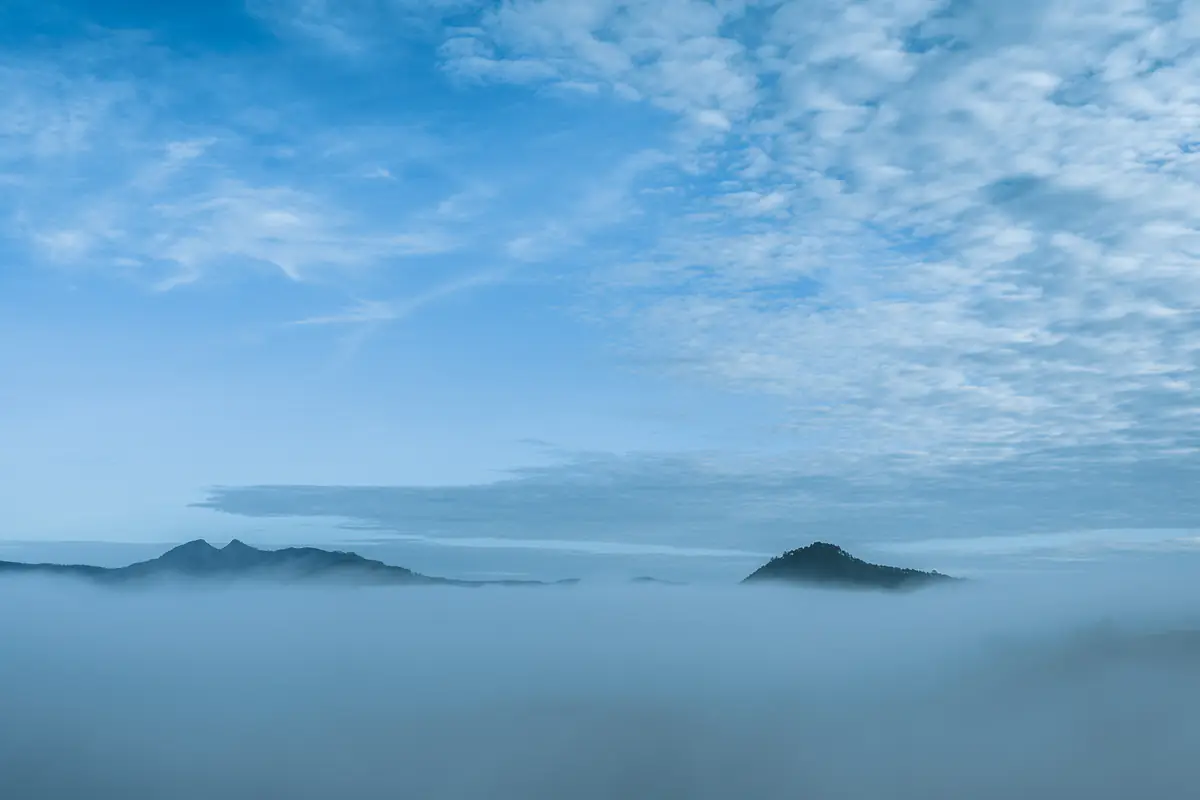
- A 16–24 mm wide lens for the panorama and a 70–200 mm telephoto to stack the hill layers above the clouds. The peaks-above-clouds photo on this page was shot at 24 mm.
- A tripod before sunrise: ISO 100–400, f/8–f/11, and shutter speeds down to a few seconds. Bracket a few frames for HDR if needed.
- Wipe the lens constantly: dew forms fast. Keep the camera in its bag until you arrive to limit condensation.
With a phone
- Tap the bright clouds to focus, then drag exposure down slightly.
- Leave auto HDR on; if you have a RAW or Pro mode, shoot RAW.
- Use the 2x or 3x lens, if you have one, to separate hills from clouds instead of always going wide.
- Shoot a 10–15 minute timelapse on a mini tripod: moving clouds beat still photos.
- Batteries drain fast in the cold, so keep the phone in an inside pocket and bring a power bank.
A reminder from VnExpress (September 5, 2026): do not expect the thick clouds you see online every time. Many of those photos catch the best 30 minutes and have been edited. Shoot anyway when the clouds are thin; sunrise light through mist has its own charm.
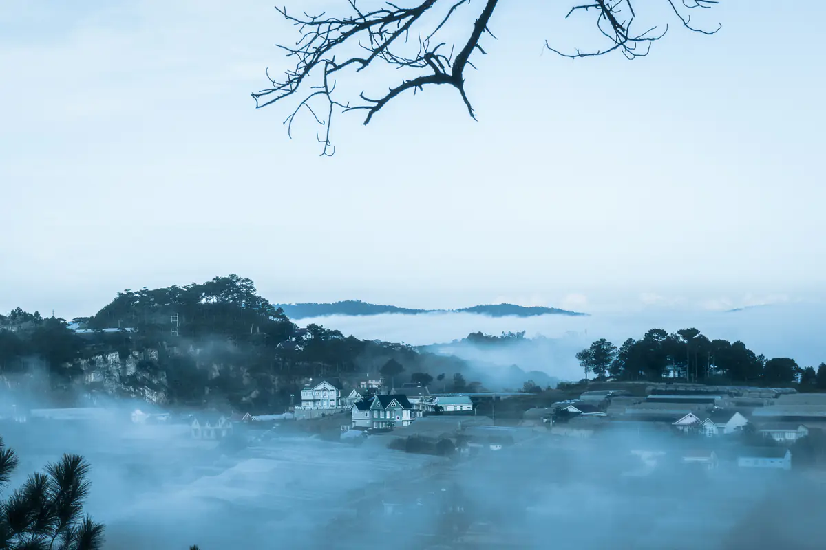
What to wear and bring for Da Lat cloud hunting
Dressing for Da Lat cloud hunting means planning for a big temperature swing. Tuoi Tre (April 6, 2026) (in Vietnamese) noted that visitors needed jackets at dawn but temperatures could reach 28°C after 10am. VietNamNet (October 22, 2022) (in Vietnamese) recorded 13–15°C at 4–5am in October, with some visitors wrapped in blankets on the ride. Wear layers you can peel off:
- A thermal or long-sleeve base layer, a sweater or fleece, and a windproof, water-resistant shell.
- Gloves, a beanie, a neck scarf and thick socks. Hands on a motorbike get cold first.
- Grippy shoes for dewy dirt slopes, a light rain poncho, a flashlight, a warm drink, snacks and a bag to carry out your trash.
Layering and color ideas are in our guide on what to wear in Da Lat. Our tip: a red, mustard or teal jacket stands out beautifully against white clouds and green hills.
Da Lat cloud hunting without the long ride: valley-view cafes
Traveling with older relatives or small children, or simply not keen on riding 25 km in the dark? A cafe overlooking a valley near town is a gentler option. You will usually see thin mist and a changing sky rather than a thick sea of clouds, but you get a seat, a hot drink and a restroom.
We have reviewed two separately: Binh Minh Oi Da Lat (opens before dawn, with a sunrise table) and Cheo Veooo cafe Da Lat (better for afternoons and sunset). We do not repeat those reviews here; see each page for prices, hours and downsides.
A sample Da Lat cloud hunting morning (October–November)
| Time | What to do |
|---|---|
| 8:30pm the night before | Check the weather widget, charge batteries, lay out layers, fill the tank |
| 3:45am | Wake up, dress in layers, drink something warm |
| 4:10–4:20am | Set off slowly with lights on |
| 5:00–5:10am | Arrive, park, ask the price before entering any paid area |
| 5:15–6:30am | Golden window: first light, sunrise, clouds at their best |
| 6:30–7:30am | Clouds lift; walk the tea hills and shoot the low side light |
| 8:00am | Breakfast and coffee nearby, then back to town |
No clouds on your Da Lat cloud hunting morning? Do not take it personally. VnExpress (September 5, 2026) says spending two or three days in one place is the most reliable way to improve your odds. Move your next attempt to the night with the best forecast and use today for other plans from our Da Lat travel overview.
The bottom line
Successful Da Lat cloud hunting comes down to three things you control: picking a humid, clear, calm night; leaving early enough for that month’s first light; and choosing a spot that matches your riding skills. The rest is weather, and no tour can promise it.
Ask the price before entering any paid area, do not pay unofficial gate fees, and treat the dark ride as the part that needs the most care. We hope you get a valley full of white clouds. If not, Da Lat has plenty more mornings.
FAQ
What is the best month for Da Lat cloud hunting?
Vietnamese outlets disagree: CafeF (July 2023) and VnExpress (September 2022) favor June to August in the rainy season, while others point to spring, summer or the end of the year. Climate data shows humidity peaks from May to October and clear nights return from November, so we rate the transition months (late October to November, and April to May) as the most reliable for Da Lat cloud hunting.
What time should I leave for Cau Dat to see the clouds?
Around 4:00 to 4:30am from central Da Lat. Cau Dat is about 23 to 30 km away, the clouds look best around sunrise (about 5:21am in May and June, 5:35am in October and 6:09am in January in 2026), and they usually lift by about 7:30am, according to VietNamNet (October 2022).
How can I tell whether there will be clouds tomorrow morning?
There is no guarantee. Good signs are a light afternoon shower that clears by evening, a starry sky, light wind, high humidity and a big day-night temperature gap. A long heavy downpour is usually followed by wind and gray skies (VnExpress, September 2026). Check the live weather widget on our homepage the evening before.
How much does cloud hunting at Cau Dat cost?
The press has reported VND120,000 per person, including a drink or snack, at the wooden-deck spots (VietNamNet, October 2022; Kenh14, March 2024). According to Thanh Nien (July 2023), licensed cafes there may not charge gate fees, so you only pay when you use a service. Prices may have changed; ask before entering.
Is a Da Lat cloud hunting tour worth it?
A tour suits travelers who do not want to ride unlit mountain roads or who travel as a large group. Choose an operator with a clear name and address, ask what is included and what happens if there are no clouds, and avoid large deposits to personal accounts. Dan Tri (April 2023) reported a traveler losing a VND1.5 million deposit to a social-media seller.
Can I go cloud hunting close to the city center?
Yes. Thien Phuc Duc and Du Sinh hills are close to town (Du Sinh is about 5 km) and Da Phu Hill is about 10 km away. They are easier to reach, though the clouds are usually thinner than at Cau Dat. A valley-view cafe such as Binh Minh Oi Da Lat is another gentle option.
Sources
Facts in this article were checked against the sources below, accessed on Sep 28, 2026. Prices and opening hours change, so please double-check before you go.
- VnExpress International: Five popular spots for cloud hunting in Da Lat (October 29, 2020)
- Tuoi Tre News: Indian tourist killed in motorbike crash on Da Lat mountain pass (September 25, 2026)
- Tuoi Tre News: UFO-shaped clouds form over southern Vietnam mountain (November 25, 2022)
- VietNamNet: The sea of clouds in Da Lat in September days (September 28, 2021)
- Viet Nam News: Chasing the sunrise to enjoy best moment of the day (May 2026)
- Saigoneer: I Went Cloud-Hunting and Found Peace Atop Đà Lạt’s Tea Hill (March 16, 2023)
- Wikipedia: Fog (radiation fog, valley fog; checked September 28, 2026)
- Wikipedia: Inversion (meteorology) (checked September 28, 2026)
- Wikipedia: Da Lat (climate table; checked September 28, 2026)
- sunrise-sunset.org: sunrise and civil twilight at 11.9404, 108.4583, 15th of each month in 2026 (checked September 28, 2026)
- Thanh Nien: Businesses fined for charging cloud-hunting visitors (July 20, 2023, in Vietnamese)
- Thanh Nien: Da Lat cloud hunting tops National Geographic’s sunrise experiences (November 15, 2025, in Vietnamese)
- National Geographic: seven sunrise experiences (cited via Thanh Nien, November 15, 2025)
- Thanh Nien: Dalattourist in 2026 (April 6, 2026, in Vietnamese)
- Kenh14: Visitors confused by the cloud-hunting “maze” in Da Lat (March 13, 2024, in Vietnamese)
- VnExpress: Easy places to hunt clouds in Da Lat (September 3, 2022, in Vietnamese)
- VnExpress: Da Lat at the end of the cloud season (September 11, 2022, in Vietnamese)
- VnExpress: Reading the weather for cloud hunting in northern Vietnam (September 5, 2026, in Vietnamese)
- VnExpress: Risking danger to chase fog in Da Lat (July 28, 2020, in Vietnamese)
- CafeF: Rainy-season cloud hunting in Da Lat (July 20, 2023, in Vietnamese)
- Dan Tri: Cloud-hunting deposit lost as guide vanishes (April 25, 2023, in Vietnamese)
- VietNamNet: Hundreds of vehicles queue for Da Lat clouds at 13°C (October 22, 2022, in Vietnamese)
- Tuoi Tre: Misty roads of Da Lat’s cloud season (April 6, 2026, in Vietnamese)
- VietNamNet: A prized cloud-hunting road near Da Lat (June 9, 2022, in Vietnamese)