Da Lat Temperature: How Cold Is It Compared With Home, and What to Pack
Da Lat temperature swings hard between dawn and midday, so one number rarely tells you what to pack. Our free tool compares Da Lat with your home city for your exact dates and suggests how many layers to bring.
By Da Lat LoversPublished Updated How we reviewĐọc bản tiếng Việt
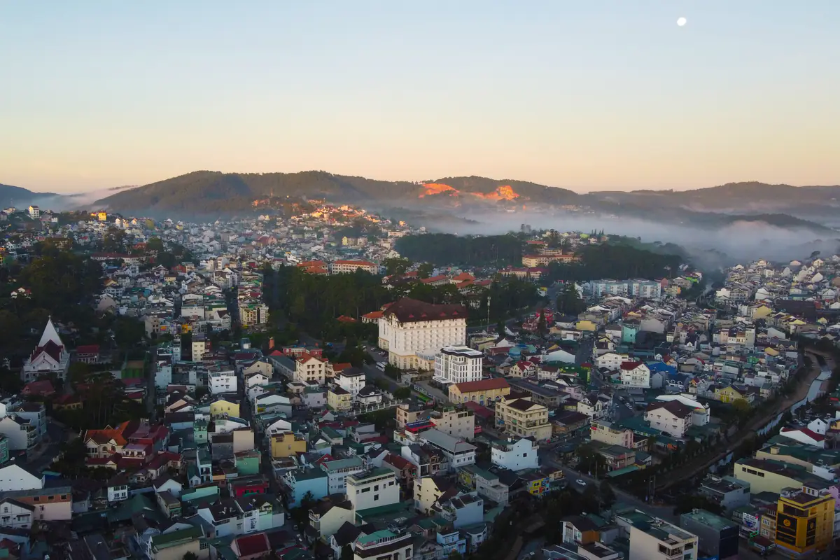
Ask anyone who has flown in from Singapore or Kuala Lumpur and they will tell you the same story: they checked the forecast, saw “23°C,” packed T-shirts, and spent their first sunrise in Da Lat shivering. The Da Lat temperature at 6 a.m. and the one at 1 p.m. can be more than 10°C (18°F) apart, and your body judges both against the climate you left behind. So instead of another generic table, we built a tool. Pick your travel dates and your home city, and it shows how much colder (or warmer) Da Lat will feel at dawn, midday and evening, the chance of rain, how many layers to pack, and a shareable card for your travel group chat.
How cold is Da Lat compared with home?
Da Lat temperature by month (climate averages)
| Month | Avg high | Avg low | 6 a.m. | 1 p.m. | 8 p.m. | Rain days | Record low |
|---|---|---|---|---|---|---|---|
| Jan | 22° | 12° | 14° | 22° | 16° | 2.2 | 0° |
| Feb | 24° | 12° | 14° | 23° | 16° | 2.5 | -1° |
| Mar | 25° | 13° | 15° | 25° | 17° | 5.8 | 4° |
| Apr | 25° | 15° | 16° | 26° | 18° | 12.8 | 4° |
| May | 25° | 16° | 18° | 24° | 19° | 20.5 | 10° |
| Jun | 24° | 16° | 18° | 23° | 18° | 21.2 | 11° |
| Jul | 23° | 16° | 17° | 22° | 18° | 23.8 | 10° |
| Aug | 23° | 16° | 17° | 23° | 18° | 23.1 | 11° |
| Sep | 23° | 16° | 17° | 22° | 18° | 24 | 10° |
| Oct | 23° | 15° | 17° | 22° | 17° | 20 | 8° |
| Nov | 22° | 15° | 16° | 22° | 17° | 11.5 | 4° |
| Dec | 21° | 13° | 15° | 21° | 16° | 5.9 | 3° |
Only need today’s conditions to decide where to go this afternoon? Use the live Da Lat right now widget on our homepage. This page does a different job: it looks ahead to your trip and puts Da Lat side by side with the place you actually live, so you can pack properly.
How to use the Da Lat temperature tool
The Da Lat temperature tool has three inputs: start date, trip length (1 to 14 days) and home city. The list covers 29 cities, chosen from where most of Da Lat’s visitors come from: Singapore, Kuala Lumpur, Penang, Bangkok, Manila, Jakarta, Seoul, Busan, Taipei, Hong Kong, Tokyo, Mumbai, Delhi, Chennai, Bengaluru, Sydney, Melbourne, Perth, Moscow, London, Paris, New York, Los Angeles, plus six Vietnamese cities including Ho Chi Minh City and Hanoi. Press “Compare” and the Da Lat temperature comparison appears in a few seconds.
- The headline: for example, “Da Lat is 10°C colder than Singapore at 6 a.m.” That dawn figure drives your packing, because early morning is the coldest time you are still likely to be outside: sunrise viewpoints, breakfast, or stepping off an overnight bus.
- Three time slots: 6 a.m., 1 p.m. and 8 p.m., each with the Da Lat temperature, your home temperature and the gap, all in local time.
- Average low/high and rain odds for the days you are there.
- A layer count (1 to 4) and a short packing checklist, with a link to our full outfit guide.
- A 1,080-pixel square PNG card. “Download card” saves it; “Share” opens your phone’s share sheet (WhatsApp, Telegram, KakaoTalk, Messenger) where your browser supports it.
If your trip starts within the next 16 days, the tool uses a live Da Lat temperature forecast. Beyond that, it uses a 10-year average for the exact same calendar dates. A small label under the form tells you which one you are looking at. There is also a °C/°F switch for visitors from the United States.
Nothing about you is collected
Da Lat temperature by month at a glance
The monthly table under the tool blends two sources. Average highs, lows, rain days and record lows come from the Da Lat climate table on Wikipedia, which draws on the city’s official gazetteer (Địa chí Đà Lạt) for a weather station at 1,513 m (4,964 ft). The 6 a.m., 1 p.m. and 8 p.m. columns are 2016–2025 hourly averages we computed from Open-Meteo’s historical data, the same method the tool uses for trips further out.
The big picture: the average Da Lat temperature across the year is about 18°C (64°F), and the warmest and coolest months are only a few degrees apart. According to the Da Lat Gazetteer, monthly means range from 15.8 to 19.3°C. What really changes is the gap between day and night, and the difference between the dry and wet seasons.
Dry season (roughly November to April): sunny middays, cold nights
December to February brings the lowest Da Lat temperature readings at night, with station lows averaging only 11.7–13.2°C (53–56°F) while afternoons still reach 21–24°C (70–75°F). Clear skies let the ground lose heat fast after dark. March and April have the warmest afternoons of the year, above 25°C, yet mornings stay crisp. For the coldest month in detail, see our guide to Da Lat weather in December.
Wet season (roughly May to October): mild and even, with afternoon rain
Cloud cover traps heat overnight, so the nighttime Da Lat temperature is milder (lows around 15–16°C, or 59–61°F) and afternoons cooler. Expect 20 to 24 rain days a month, mostly as afternoon showers. For hour-by-hour rain patterns, read Da Lat weather in October; for the seasonal switch, see Da Lat weather in November. Our homepage also has a one-glance 12-month weather calendar with flower seasons and events.
Why is Da Lat so much cooler than the rest of southern Vietnam?
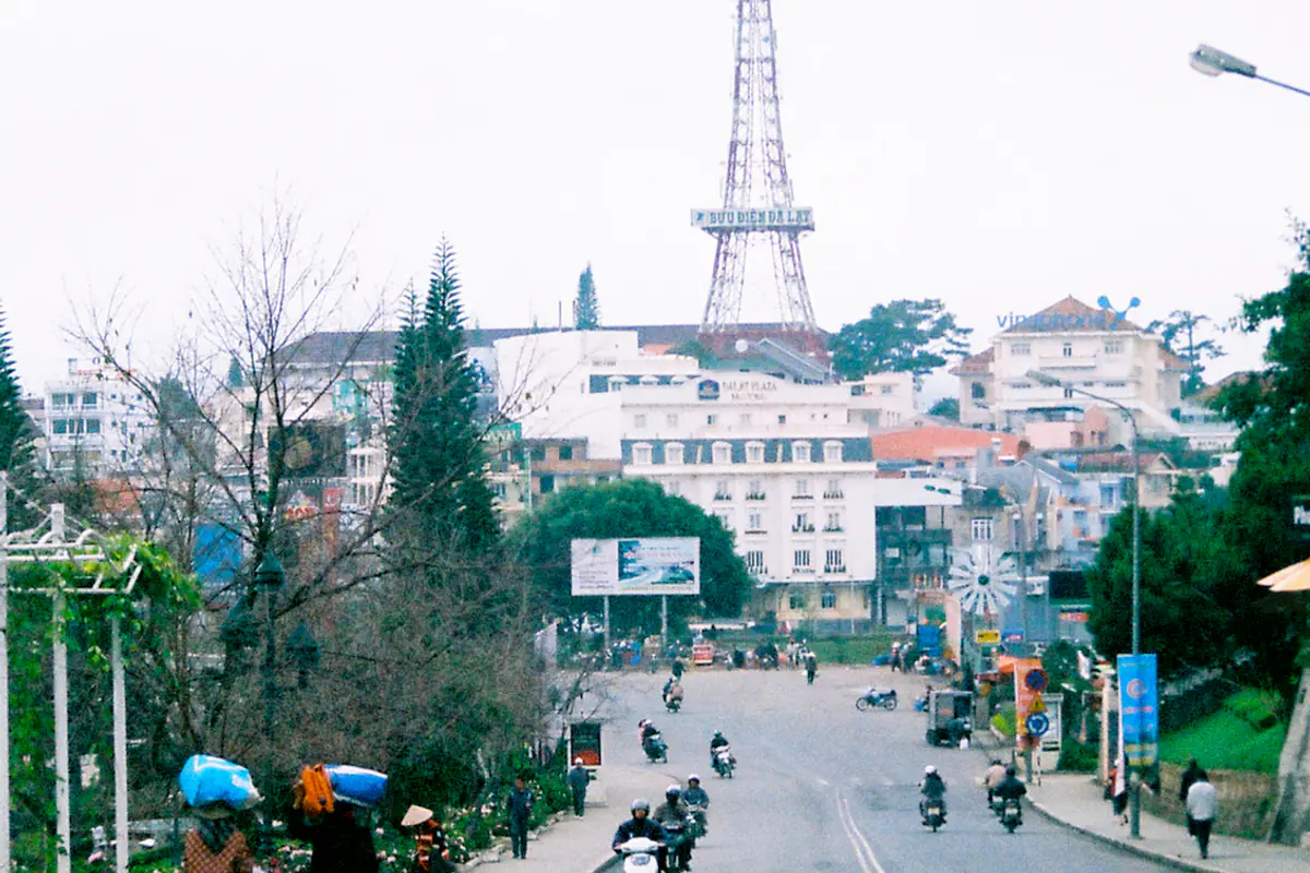
Da Lat sits only about 300 km (190 miles) from Ho Chi Minh City and at almost the same latitude as the beach town of Nha Trang, yet it feels like another country. The reason is altitude. Air cools as it rises and thins. According to Wikipedia’s article on lapse rate, the International Civil Aviation Organization’s standard atmosphere assumes temperature drops 6.5°C for every 1,000 m; dry rising air cools even faster, at 9.8°C per 1,000 m.
Apply that to the Da Lat temperature: the station is at 1,513 m, while Ho Chi Minh City sits near sea level. Multiply 1.5 km by 6.5°C and you get a theoretical gap of about 9.8°C. Our 2016–2025 numbers from Open-Meteo land very close to that: Da Lat runs about 8–10°C (14–18°F) colder than Ho Chi Minh City at 6 a.m., and a similar 8–10°C at 1 p.m., in every month. A handy rule: every 150 m of climbing costs roughly 1°C.
Altitude is not the whole story. The gazetteer also credits the pine forests and vegetation around the city with keeping the climate mild. Development can push the other way: in 2018, Saigoneer (June 27, 2018) reported an ecologist’s view that areas around Da Lat’s greenhouses run 3–5°C warmer and that the city’s average temperature had already risen by 1–1.5°C. That was one expert’s assessment at the time, but it explains why long-time residents often say Da Lat “isn’t as cold as it used to be.”
The cool climate is exactly why the French built Da Lat as a hill station in the early 1900s, and why it still draws people escaping tropical heat. VnExpress International (July 5, 2023) reported that Singapore’s CNA listed Da Lat, at 1,500 m above sea level, among 10 cool getaways in Asia for Singaporeans escaping a heatwave.
Day–night swing: “four seasons in one day” is real
Wikipedia notes that locals and tourists like to say Da Lat has four seasons in a single day: spring in the morning, summer at noon, autumn in the afternoon and winter at night. The numbers back it up. According to the gazetteer, the average daily range is about 11°C (20°F), stretching to 13–14°C in the dry months of January to March and shrinking to 6–7°C in the rainy season.
A real example: during a cold snap in early January 2026, Vietnamese daily Dân trí reported (January 9, 2026) that Da Lat sat at 8–9°C from midnight to 6 a.m., about 13°C by 8 a.m., roughly 21°C at noon and back down to 8–9°C at night. A resident told the paper her family had installed space heaters and bathroom heat lamps. A 12–13°C swing within a few hours is normal in the dry season.
The practical lesson: do not pack for the afternoon Da Lat temperature. If your weather app says “high 23°C” and you bring only T-shirts, a 5 a.m. sunrise trip the next day will be miserable. That is why the tool sets its layer count from the Da Lat temperature at 6 a.m., and why several thin layers you can peel off as the sun climbs work better here than one heavy coat. Specific outfits by season, and what to wear at temples, are in our guide on what to wear in Da Lat.
How cold does Da Lat get? Records and recent cold snaps
You will find several “record low” figures online because sources use different measuring periods. Here is how they fit together.
- All-time record: the Wikipedia climate table lists −0.6°C (31°F) in February and −0.1°C in January, with extremes drawn from two periods, 1918–1940 and 1964–1998. The sub-zero readings belong to the French colonial era.
- 1964–1998 only: the Da Lat Gazetteer gives an absolute low of 4.3°C (40°F) in January 1996 and an absolute high of 29.8°C in March 1998.
- What a travel writer saw: a 2021 feature in Tuoi Tre News (January 24, 2021) described Da Lat as rarely dropping below 10°C (50°F) in winter. Recent cold snaps have gone a little lower.
Recent cold mornings reported by major Vietnamese media:
| Date | Da Lat | Context | Source |
|---|---|---|---|
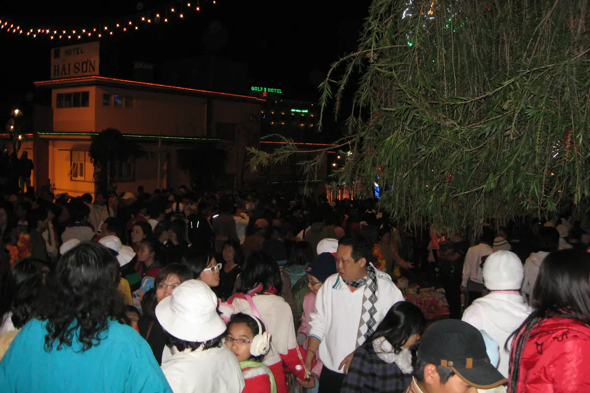
| Dec 21, 2024 (evening) | 13°C (55°F) | About 18,000 people at an outdoor concert | Tuoi Tre News |
| Jan 13, 2025 | 11°C (52°F) | Ho Chi Minh City 19°C, lowest in four years | Viet Nam News |
| Dec 31, 2025 | 8.6°C (47°F) | Much of southern Vietnam below 20°C | Tuổi Trẻ |
| Jan 9, 2026 | 7.8°C (46°F) | Central Ho Chi Minh City 18°C, coldest in 10 years | Tuổi Trẻ |
In short, a dawn Da Lat temperature of 8–9°C (46–48°F) is the typical low point of recent dry seasons, while anything below 5°C is rare. The Da Lat temperature in suburbs, valleys and on hilltops can read a few degrees colder than the station. For official warnings, Vietnam’s National Center for Hydro-Meteorological Forecasting is the authority.
Cloud-hunting spots vs the city: how much colder?
The tool calculates the Da Lat temperature for the city center at 1,500 m. But if you get up at 4 a.m. to watch the famous sea of clouds, you will be outside at the coldest hour, usually somewhere higher or more exposed than downtown. Three things to know:
- Higher means colder. At about 6.5°C per 1,000 m, every 150 m above the center costs around 1°C. The summit of Langbiang (Lâm Viên), at 2,167 m, is some 650 m higher, so it can be roughly 4°C colder. That is our estimate, not a measurement.
- Valleys can surprise you. On clear, calm nights cold air drains into valleys and forms an inversion, according to Wikipedia’s article on fog; that is why valley fog forms quickly and lingers. The fog below you is the “sea of clouds” you came to see.
- Wind and standing still. Waiting one or two hours on an open hilltop, you lose heat much faster than when walking around town. Bring more than the tool suggests.
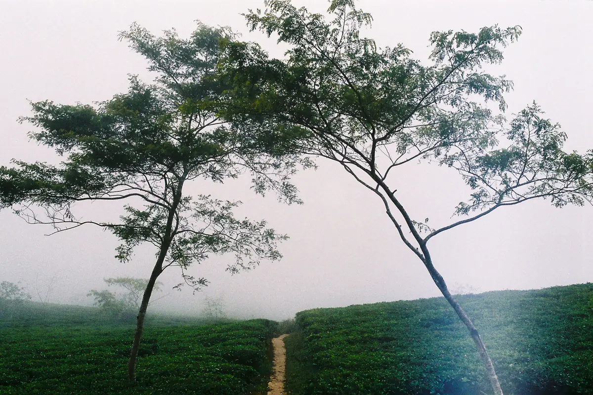
Our rule of thumb: if the tool says three layers, add a scarf, beanie and gloves for sunrise. Viewpoints, departure times and night-riding safety are covered in our Da Lat cloud hunting guide, and each hill is profiled in places to visit in Da Lat.

Da Lat temperature compared with your home city
The same 15°C that makes someone from Singapore reach for a jacket feels like spring to someone from Seoul. That is why comparing the Da Lat temperature with home is the best way to predict how it will feel. The table below uses 2016–2025 averages we computed from Open-Meteo for January and July (average daily low / high, local time).
| City | January | July |
|---|---|---|
| Da Lat | 14 / 22°C | 17 / 23°C |
| Ho Chi Minh City | 23 / 32°C | 25 / 31°C |
| Singapore | 25 / 29°C | 26 / 30°C |
| Kuala Lumpur | 24 / 30°C | 24 / 31°C |
| Bangkok | 22 / 32°C | 26 / 31°C |
| Mumbai | 19 / 29°C | 26 / 28°C |
| Seoul | −7 / 2°C | 22 / 29°C |
| Sydney | 19 / 27°C | 8 / 17°C |
| Moscow | −9 / −4°C | 15 / 24°C |
| London | 2 / 8°C | 14 / 23°C |
From Singapore, Malaysia, Thailand, the Philippines and Indonesia
You face the biggest shock. Mornings in Da Lat run roughly 9–12°C (16–22°F) cooler than at home all year, and the tool adds an extra layer whenever your city is at least 10°C warmer than Da Lat at dawn, because people used to heat feel colder than the thermometer suggests. Meteorologists make a similar point: as Viet Nam News (January 13, 2025) reported, the Southern Regional Hydrometeorology Station noted that outdoor conditions may feel 2–4°C colder than the official reading. When Ho Chi Minh City itself dipped to a rare chill on January 9, 2026, one resident told VietNamNet his morning ride felt “just like being in Da Lat.”
From India
Visitors from Mumbai and Chennai face a gap similar to Southeast Asians. Delhi in December and January is a different story: its winter mornings are often as chilly as Da Lat’s, so you may need less than the tool’s tropical bump suggests. Pick Delhi in the tool to see the Da Lat temperature gap for your dates.
From Korea, Russia, Europe and North America
If you travel during your own winter, Da Lat will feel mild, sometimes 15–25°C warmer than home at midday. A light jacket for the evenings is usually enough. In your summer, Da Lat is cooler than Seoul, Moscow or New York, especially at night, so bring a sweater. Russian visitors searching “далат погода” (Dalat weather) should note that nights rarely drop below 8°C, so thermal gear from home is overkill.
From Australia
The seasons flip. In June to August, Da Lat mornings are warmer than Sydney’s or Melbourne’s winter dawns, while in December and January Da Lat is noticeably cooler than an Australian summer, especially after dark.
How the tool calculates the numbers
We publish the method so you know how far to trust each result.
Trips starting within 16 days: the forecast
The tool makes a single call to the Open-Meteo Forecast API for both Da Lat and your city, pulling hourly temperatures, daily highs and lows, and the maximum daily rain probability. For Da Lat we pass an elevation of 1,500 m so the model adjusts for altitude instead of using the average height of its grid cell. If your trip runs past day 16, the tool uses the days that have a forecast and says so.
Later trips: a 10-year average for your exact dates
For dates further out, the tool sends one request to the Open-Meteo Historical Weather API (ERA5 reanalysis), asking for your exact date range in each year from 2016 to 2025 for both places. It then averages the 6 a.m., 1 p.m. and 8 p.m. readings, the daily lows and highs, and the share of days with at least 1 mm of rain. Using the latest decade reflects today’s climate, which is warmer than the station records from 1964–1998.
Know the limits
The layer rule
It starts from the Da Lat temperature at 6 a.m.: 19°C (66°F) or above means 1 layer, 16–19°C means 2, 12–16°C means 3, and below 12°C (54°F) means 4. Add one layer (maximum 4) if your home is at least 10°C warmer than Da Lat at the same hour. If the rain chance is 40% or more, the checklist adds a packable rain jacket and a waterproof phone pouch. This is our own rule of thumb, based on the three-layer system in our outfit guide, not medical advice.
Tips for reading your result and packing
- Check again two or three days out. A Da Lat temperature forecast 10–16 days ahead can be off by a few degrees; reopen the tool close to departure.
- Overnight buses arrive at the coldest hour. Keep your jacket in your carry-on, not in the luggage hold. Routes and operators are in our guide from Ho Chi Minh City to Da Lat.
- Forgot a sweater? The night market sells knitwear, scarves and gloves; layout and bargaining tips are in our Da Lat night market guide.
- Ask your hotel about bedding and hot water. Many rooms have no heating, so a thick duvet matters when nights drop below 12°C. More practical advice is in our Da Lat travel tips.
- Wear sunscreen anyway. Cool air does not mean weak sun. Dry-season skies are clear and the midday sun at 1,500 m burns even at 22–25°C.
Still deciding when to go? Try a few different dates in the tool and watch the Da Lat temperature change: the same traveler from Singapore might need two layers in July and four in January. We hope the little share card settles the “do we really need jackets?” debate in your group chat. For costs, itineraries and everything else, start from our Da Lat travel guide homepage.
FAQ
What is the Da Lat temperature today?
For current conditions and a 7-day forecast, use the “Da Lat right now” widget on our homepage, which pulls Open-Meteo data every 15 minutes. To see your travel dates compared with your home city, use the tool at the top of this page.
How cold does Da Lat get?
The Wikipedia climate table lists a record low of −0.6°C (31°F) in February, from measurements taken in 1918–1940. The Da Lat Gazetteer gives 4.3°C as the lowest reading of 1964–1998. In recent dry seasons the coldest mornings have been around 8–9°C, such as 7.8°C on January 9, 2026, reported by Tuổi Trẻ.
Which is the coldest month in Da Lat?
December has the coolest afternoons (average high 21.4°C), while January and February have the coldest nights (average lows around 11.7–11.9°C) according to station data. It is also the dry season, so the day–night swing can reach 13–14°C.
How much colder is Da Lat than Singapore or Ho Chi Minh City?
Based on 2016–2025 averages we computed from Open-Meteo, Da Lat is about 8–10°C colder than Ho Chi Minh City at both 6 a.m. and 1 p.m., and roughly 9–12°C colder than Singapore in the early morning. The main reason is its altitude of about 1,500 m.
How many layers should I pack for Da Lat?
It depends on the dawn temperature and where you live. The tool’s rule: 19°C or above at 6 a.m. means one layer, 16–19°C two, 12–16°C three and below 12°C four, plus one extra layer if home is at least 10°C warmer. Travelers from the tropics visiting in the dry season usually need three or four.
Where does the data come from, and how accurate is it?
Trips starting within 16 days use the Open-Meteo forecast; later trips use a 10-year average (2016–2025) of the same dates from Open-Meteo’s historical data. On dry-season nights the model usually runs 1–2°C warmer than the real station, so pack a little warmer. Results are for guidance only.
Sources
Facts in this article were checked against the sources below, accessed on Sep 28, 2026. Prices and opening hours change, so please double-check before you go.
- Viet Nam News: HCM City drops to 19 degrees Celsius, the lowest temperatures in 4 years (January 13, 2025)
- Da Lat Gazetteer (Địa chí Đà Lạt), Climate chapter, Lam Dong provincial portal (accessed September 28, 2026)
- Wikipedia: Da Lat, climate table (accessed September 28, 2026)
- Wikipedia: Lapse rate (accessed September 28, 2026)
- Wikipedia: Fog (accessed September 28, 2026)
- Open-Meteo: Forecast API
- Open-Meteo: Historical Weather API, 2016–2025 averages (downloaded September 28, 2026)
- Dân trí: Da Lat shivers at 8°C (January 9, 2026, in Vietnamese)
- Tuổi Trẻ: Da Lat 8.6°C as southern Vietnam dips below 20°C (December 31, 2025, in Vietnamese)
- Tuổi Trẻ: HCMC at 18°C for the first time in 10 years, Da Lat 7.8°C (January 9, 2026, in Vietnamese)
- VietNamNet: Ho Chi Minh City wakes to rare chill (January 9, 2026)
- VnExpress International: Da Lat, Sa Pa among Asia’s ideal destinations to escape heatwave for Singaporeans (July 5, 2023)
- Tuoi Tre News: Head for the hills in Vietnam’s Da Lat (January 24, 2021)
- Tuoi Tre News: International musical legends enliven Da Lat (December 22, 2024)
- Saigoneer: Da Lat Is Going Through Its Own Climate Change (June 27, 2018)
- National Center for Hydro-Meteorological Forecasting (Vietnam)